Olla Ramlan celebrates one year of relationship with Tristan Molina through a sentimental social media retrospective

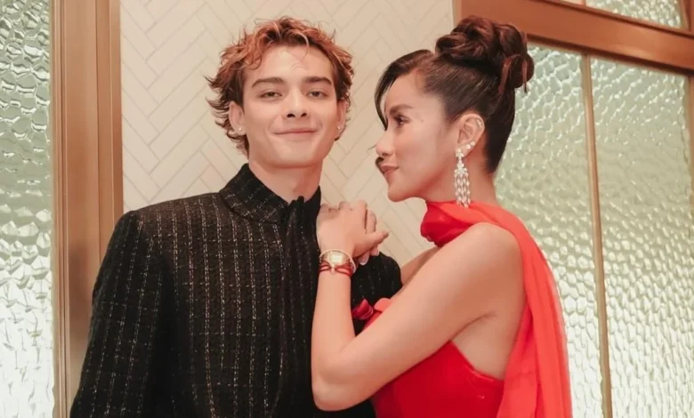
Jakarta, Indonesia — The landscape of celebrity romance in Indonesia often undergoes intense public scrutiny, yet occasionally, a narrative emerges that centers on personal growth and quiet endurance. Olla Ramlan, a prominent figure in the Indonesian entertainment industry, recently marked a significant personal milestone: the one-year anniversary of her relationship with Tristan Molina. The revelation, shared through a series of emotive posts on her official Instagram account on Wednesday, September 16, 2026, provided a rare glimpse into the evolution of a connection that began as a casual acquaintance and blossomed into a committed partnership.
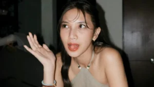
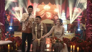
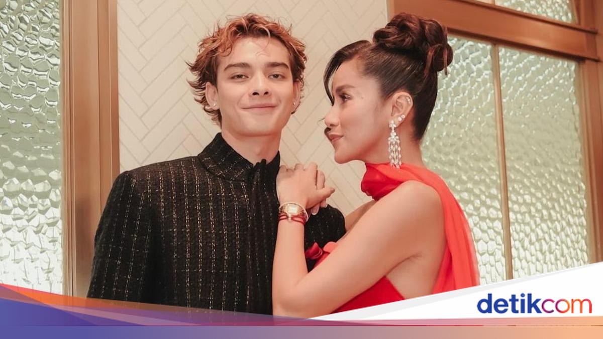
The announcement was accompanied by a digital retrospective featuring archival photographs of the couple, including a notable image from their initial meeting—a social setting that included actress Tissa Biani. For followers of the celebrity’s life, this milestone serves as a confirmation of stability in a public sphere where relationships are frequently subject to volatility.
From Casual Encounter to Committed Partnership
The narrative shared by Olla Ramlan characterizes the genesis of her relationship with Tristan Molina as serendipitous and initially understated. Reflecting on their inception, the actress noted that their first encounter was marked by a lack of seriousness, describing it as a "joke" or a casual moment that lacked the weight of intent. However, as the months progressed, this dynamic shifted, leading to a year-long journey that has clearly become a central pillar of her current life.
"Saat pertama kali kita bertemu, itu hanyalah sebuah lelucon. Sesuatu yang tak pernah benar-benar kita anggap serius. Namun entah bagaimana, lelucon kecil itu justru menjadi perjalanan kita selama satu tahun penuh," wrote Ramlan in her digital chronicle. This admission highlights the unpredictable nature of interpersonal relationships in the high-pressure environment of the entertainment industry, where external expectations often clash with the organic development of personal bonds.
A Measured Outlook on Future Trajectory
Beyond the nostalgia of the past year, Ramlan’s public commentary emphasized a grounded, measured approach toward the future. Eschewing grand promises or overly idealistic declarations, she expressed a philosophy rooted in gratitude and mutual evolution. Her statement suggests that the relationship is built on a foundation of shared growth, where both parties are committed to becoming "the best versions of themselves."
"Aku tidak tahu apa yang menanti kita di masa depan, atau ke mana perjalanan ini akan membawa kita selanjutnya. Namun satu hal yang pasti: Insya Allah, kita akan terus melangkah menjalani hidup bersama dengan hati yang penuh rasa syukur," she stated. This rhetoric is indicative of a mature approach to dating, particularly for someone who has previously navigated the complexities of high-profile marriages and public separation. By focusing on "saling belajar" (mutual learning) and "bertumbuh" (growth), Ramlan frames her relationship as a partnership of equals rather than a mere romantic entanglement.
Contextualizing the Celebrity Relationship Landscape
To understand the public interest in this anniversary, one must consider the broader context of Olla Ramlan’s life. As a veteran of the Indonesian screen, her career has spanned decades, involving various roles in television hosting, acting, and entrepreneurship. Following her previous divorce, the media has consistently kept a watchful eye on her personal life, often interpreting her public interactions through the lens of her past experiences.
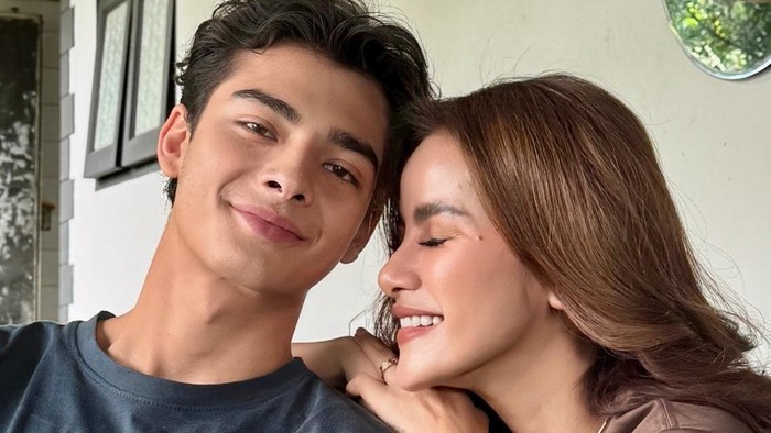
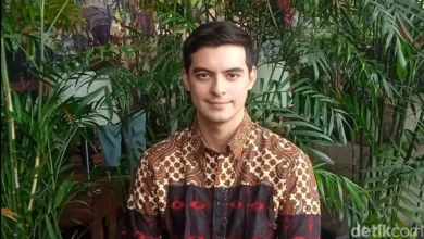
The introduction of Tristan Molina into this narrative provides a new chapter for the actress. Unlike relationships that are played out exclusively in the media spotlight, the relationship with Molina appears to be managed with a degree of discretion, only being brought to the forefront when the parties involved feel it is appropriate. The inclusion of her children in the narrative—implied by reports that Molina has been introduced to her family—suggests a level of integration that extends beyond casual dating, signaling a significant level of trust and long-term intent.
The Role of Social Media in Modern Celebrity Narratives
The medium chosen for this announcement—Instagram—is critical to the dissemination of modern celebrity news. By curating a series of images that track the progression of their relationship, Ramlan effectively controls the narrative of her personal life, bypassing traditional tabloid speculation. This approach, often referred to as "soft launching" or "curated disclosure," allows public figures to establish a brand identity that balances professional success with personal authenticity.
The engagement metrics associated with such posts frequently serve as a barometer for public sentiment. While the post serves as a personal milestone, it also reinforces her standing as a public figure whose personal choices resonate with a significant portion of her audience. The fact that the announcement was made on the 16th of September underscores a deliberate, planned approach to sharing her life, emphasizing the intentionality behind the relationship.
Analysis: The Impact of Stability on Public Brand
From a sociological perspective, the public’s fascination with Olla Ramlan’s relationship stability is tied to the archetypal desire for "happily ever after" endings, particularly for women who have navigated the challenges of divorce and single motherhood in the public eye. When a high-profile figure demonstrates that they can rebuild a life and find companionship, it often acts as a source of inspiration or, at the very least, a point of engagement for their fan base.
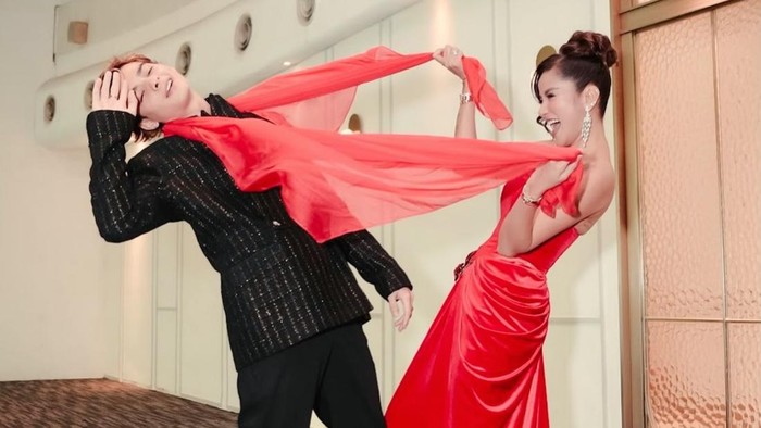
Furthermore, the integration of a partner into family life is a milestone that carries significant weight in Indonesian culture. The fact that Molina has been introduced to Ramlan’s children is perhaps the most significant indicator of the relationship’s gravity. In many conservative or traditional societal structures, the introduction of a new partner to one’s children is a definitive step that signifies a high probability of long-term commitment.
Chronology of Public Disclosure
- September 2025: The timeline inferred from the one-year anniversary suggests that the initial meeting between Ramlan and Molina occurred in the third quarter of 2025.
- Late 2025 – Mid 2026: During this period, the couple maintained a relatively low profile, with sporadic appearances or mentions that hinted at a developing connection without confirming the exact nature of the relationship.
- September 16, 2026: Official public acknowledgement of the one-year anniversary, providing clarity on the duration and intent of the partnership.
Looking Ahead: Implications for the Future
As Ramlan enters the second year of this relationship, the media landscape will likely continue to observe the trajectory of the pair. The shift from "casual" to "committed" marks a transition phase that often precedes deeper legal or social commitments. While no official announcements regarding marriage or further milestones have been made, the language used by Ramlan—referencing "many more chapters of life"—indicates a long-term outlook.
For observers of the Indonesian celebrity ecosystem, this event serves as a reminder of the evolving nature of celebrity privacy. While the public demands access to the personal lives of stars, figures like Olla Ramlan are increasingly asserting control over how and when these details are revealed. By focusing on themes of gratitude, growth, and family integration, she has successfully reframed the discourse around her relationship from one of mere curiosity to one of genuine human connection.
In conclusion, the one-year milestone celebrated by Olla Ramlan and Tristan Molina is more than just a social media update. It is a reflection of a carefully cultivated relationship that prioritizes personal development and family harmony. As the couple moves into their second year together, the public will undoubtedly remain attentive, not merely to the status of their romance, but to the continued narrative of personal resilience that defines Olla Ramlan’s journey in the public eye. Whether this leads to further public milestones or remains a private journey, the past year has firmly established that their bond is a significant and valued aspect of the actress’s life.