Ensuring Adequate Fluid Intake for Children: Essential Strategies and Health Implications

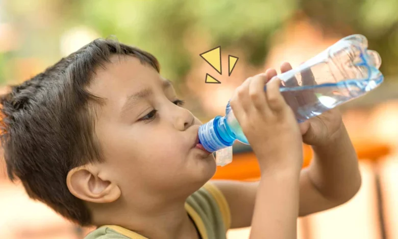
Maintaining optimal hydration in children is a fundamental yet frequently overlooked aspect of pediatric health and daily nutrition. Water serves as a critical medium for virtually every physiological process in the human body, making adequate fluid intake indispensable for a child’s physical development, immune function, and overall well-being. Unlike adults, children possess a higher body surface area-to-mass ratio, a higher metabolic rate, and a more active lifestyle, which collectively predispose them to rapid fluid loss through perspiration and respiration. Consequently, pediatricians and public health authorities emphasize that establishing proper hydration habits early in life is vital to supporting long-term health outcomes.
Recent clinical investigations underscore the profound impact of water consumption on pediatric populations. According to a landmark study published in the American Journal of Public Health, maintaining sufficient water intake correlates strongly with the maintenance of a healthy Body Mass Index (BMI), a reduction in dental caries, and measurable improvements in cognitive performance among children and adolescents. Conversely, even mild hypohydration can lead to adverse physiological consequences, including acute fatigue, impaired concentration, thermal regulation issues, and clinical dehidration. Given these stakes, pediatric experts urge caregivers to monitor daily fluid intake rigorously, tailoring it to the child’s age, physical activity levels, and prevailing environmental conditions.

Physiological Foundations of Pediatric Hydration and Age-Specific Guidelines
To prevent the onset of dehydration, parents and guardians must understand the baseline fluid requirements corresponding to different developmental stages. As children transition from infancy through adolescence, their total body water composition shifts, and their absolute fluid needs increase correspondingly to support rapid growth and expanding muscle mass.
According to guidelines established by leading pediatric health organizations, fluid requirements vary significantly across age brackets. Infants and toddlers rely heavily on breast milk or formula before transitioning to water as a primary beverage, whereas school-aged children and adolescents require substantial daily volumes of plain water to compensate for metabolic waste excretion and physical exertion. However, these figures serve merely as baseline estimates. Individual requirements fluctuate dynamically based on external variables such as ambient temperature, humidity, and the intensity of physical play or organized sports. For instance, active children aged 9 to 12 engaged in rigorous athletic activities require ongoing replenishment—typically consuming between 80 milliliters and 230 milliliters of water every 20 minutes—to offset sweat losses and maintain cardiovascular stability.
Clinical Consequences of Dehydration in Children
When fluid intake fails to match physiological demands, the pediatric body initiates compensatory mechanisms that can quickly escalate into pathological states. Mild to moderate dehydration is characterized by subjective symptoms such as intense thirst and dry oral mucous membranes, which are often accompanied by objective clinical markers including concentrated, dark-colored urine and decreased urinary output, medically termed oliguria.

According to data compiled by the National Center for Biotechnology Information (NCBI), prolonged or severe fluid deficits trigger more pronounced systemic manifestations. These include central nervous system effects such as dizziness, lethargy, cognitive confusion, and, in acute clinical scenarios, cardiovascular alterations like tachycardia, where the heart rate accelerates abnormally to maintain adequate tissue perfusion. Beyond these acute emergencies, chronic low-level dehydration impairs thermoregulation during physical exertion, reduces academic performance by diminishing short-term memory and attention spans, and places unnecessary strain on renal function. Recognizing these cascading implications highlights why proactive fluid management remains a cornerstone of preventive pediatric medicine.
Practical Strategies for Enhancing Daily Fluid Intake
Despite the clear medical consensus regarding the importance of hydration, convincing children to consume sufficient amounts of plain water can present a daily challenge for caregivers. Children frequently become engrossed in play or academic tasks, ignoring early thirst cues until they experience discomfort or fatigue. To bridge this gap between physiological need and behavioral reality, pediatric health advocates recommend implementing creative, structured routines that seamlessly integrate hydration into a child’s daily schedule.
-
Gamifying and Visualizing Hydration
Children respond positively to sensory and visual stimuli. Utilizing brightly colored reusable water bottles adorned with favorite cartoon characters or motivational timestamps can transform the act of drinking from a chore into an engaging activity. By removing the element of coercion and allowing children to take ownership of their hydration vessels, caregivers foster positive associations with water consumption.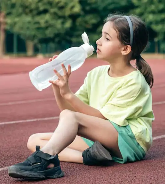
-
Enhancing Palatability Through Natural Infusions
For children who exhibit an aversion to plain water due to its lack of flavor, incorporating natural infusions provides a healthy, sugar-free alternative. Adding slices of citrus fruits such as lemons and oranges, fresh berries, or cucumbers creates a refreshing flavor profile. Allowing these ingredients to steep yields a visually appealing, mildly flavored beverage that stimulates interest without the addition of refined sugars or artificial additives. -
Promoting Routine Use of Portable Vessels
Establishing the habit of carrying a lightweight, safe, and durable water bottle during school hours, outdoor play, or family excursions ensures continuous access to fluids. This environmental cue encourages children to sip water proactively throughout the day rather than consuming large volumes only when experiencing extreme thirst. -
Dietary Contributions Through Hydration-Rich Foods
Fluid management extends beyond beverage consumption. Incorporating water-dense fruits and vegetables into snacks and meals offers a dual benefit of micronutrient intake and hydration support. Produce items such as watermelons, cantaloupes, strawberries, cucumbers, and grapes boast water contents exceeding 90 percent, making them effective auxiliary sources of daily fluid intake.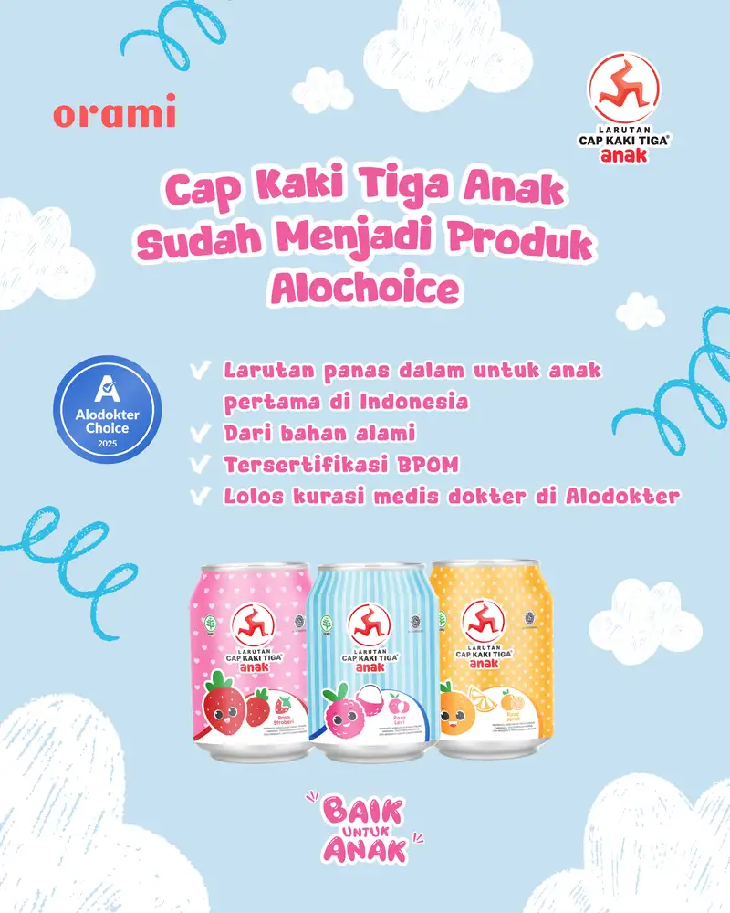
-
Early Educational Interventions
Integrating educational concepts regarding the human body’s need for water helps children internalize healthy behaviors. Utilizing age-appropriate illustrated books, interactive media, or simple scientific explanations allows children to connect the sensation of feeling energetic and focused with the consumption of water. Cultivating this foundational awareness ensures that hydration habits persist into adolescence and adulthood.
The Role of Specialized Pediatric Electrolyte and Refreshment Products
In addition to pure water and whole foods, specialized pediatric formulations have emerged as valuable adjuncts in maintaining electrolyte balance and hydration, particularly during periods of high physical activity or warm weather. Among these, traditional remedies adapted for pediatric safety, such as Cap Kaki Tiga Anak, have gained recognition as practical tools for parents managing children’s fluid intake.
Originally formulated as a specialized refreshing drink for children, products of this nature often incorporate mineral components such as Gypsum Fibrosum and Calcitum. These ingredients are traditionally utilized to help refresh the body and support systemic cooling during periods of environmental heat stress or post-exertion fatigue. Furthermore, clinical and consumer safety standards require that such pediatric formulations undergo rigorous regulatory evaluation. In Indonesia, products intended for children must secure official registration from the national agency for drug and food control, BPOM, ensuring that they meet strict safety and quality benchmarks. Additionally, endorsements from reputable medical bodies, such as validation by health platforms like Alodokter, provide caregivers with added confidence regarding product safety and suitability for pediatric consumption.

Available in a variety of child-friendly flavors—including orange, lychee, and strawberry—these specialized preparations can assist in encouraging fluid consumption, especially when children display reluctance toward plain water or experience mild discomforts associated with internal heat, such as minor throat dryness or canker sores. By integrating these options judiciously alongside water and a balanced diet, parents can diversify their approach to daily hydration management.
Broader Health Implications and Parental Guidance
The collective data from pediatric nutritionists and public health bodies point to a singular conclusion: consistent hydration is an active determinant of health status rather than a passive biological requirement. The implications of maintaining proper fluid balance resonate across educational attainment, physical stamina, and disease prevention.
As modern lifestyles expose children to increasingly structured indoor environments, digital distractions, and processed dietary options, the natural instinct to seek water can be suppressed. Consequently, intentional parental oversight remains indispensable. By combining age-appropriate targets, engaging behavioral strategies, dietary integration of water-rich foods, and the thoughtful application of safe pediatric hydration aids, caregivers can safeguard their children against the insidious risks of chronic dehydration. Ultimately, embedding these hydration practices into the daily fabric of childhood establishes a resilient physiological foundation that supports lifelong health, vitality, and optimal cognitive function.